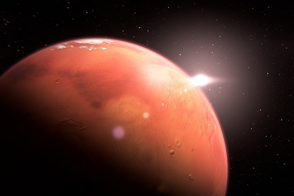
Thousand years ago people cannot even think that a time will come when they can have a look at the Map of planet Mars. Yes! Now it is possible for everyone to see that Map and figure out whether it is exactly like what they have always imagined or not? This is merely possible because of Arizona State University (ASU) and U.S geological survey (UGS).
They work together for 16 years approximately and formed first ever detailed, colorful map of Mars. They used special equipment, like heat sensing camera, in order to observe the planet properly. It is said that they have utilized 20,000 night time temperature different images for the creation of maximum resolution map of Mars.
The best point is that every man on Earth can access it through internet and a comprehensive description is also mentioned under it so that even a non-professional person can understand it. For instance, it is indicated over there that the region which are darker are cooler at night and have particles of dust and fine sand. On the other hand, the brighter areas are warmer. This map also cleared several misconception related to planet mars and gave more energy to the people who worked on it. It will function as a catalyst for engineers, scientist and will very much help them in further researchers.